Assessment of Current Ice Conditions Relevant to Distribution and Access of Walrus
Near St. Lawrence Island
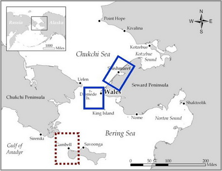
Clouds have hindered the view the past several days, however, there are indications that shorefast ice still exists over the northeastern portion of St. Lawrence Island. Waters around the western half of the island appear to be ice free. Ice floes of various size have been flowing westward away from the west coast of Alaska and toward the southeast portion of St. Lawrence Island. The concentration of these floes is likely very low within 50 miles of the island.
Wales to Shishmaref
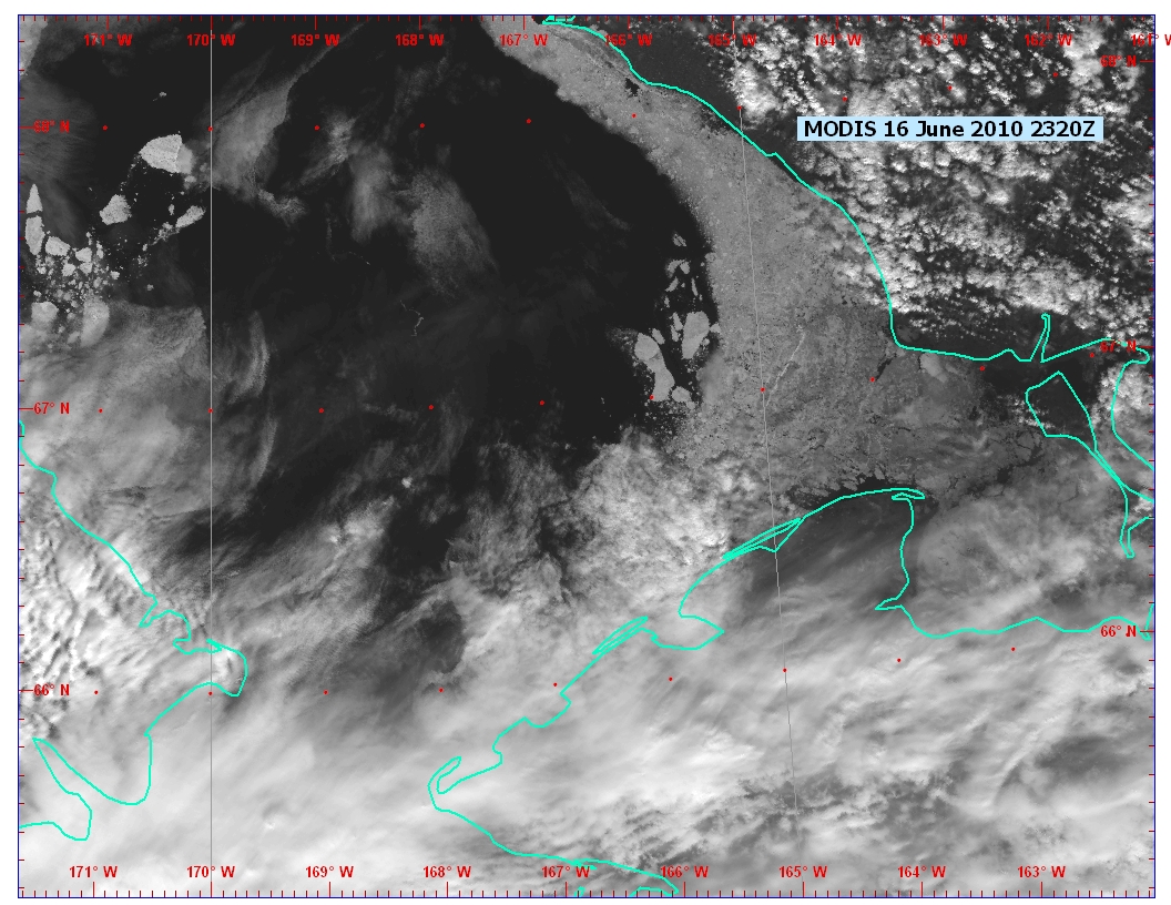
The nose of shorefast ice continues to persist between Wales and Shishmaref. While the ice was breaking up last week, the breakup appears to have slowed in the past several days. Very little ice, if any, appears to exist within 50 miles to the west or north of the northern tip of shorefast ice. Floes relatively small in size are located to the east and southeast of the shorefast ice tip. Farther to the east, northeast of Shishmaref, ice concentrations remain high with a large north to south lead.
5 and 10 Day Outlook: June 18 to June 28
The large low pressure system in the Bering Sea will slowly weaken this weekend. A new low pressure system will develop just south of the central Aleutians by Monday, and slowly move east along the Aleutians through Wednesday, June 23, while higher pressure develops across the Chukchi Sea. Most of the unsettled weather associated with the low should remain south of St. Lawrence Island. Northerly to northeasterly winds are expected by the middle part of the week both from Wales to Shishmaref and around St. Lawrence Island. The low along the Aleutians will slowly move eastward through late in the week while the higher pressure remains in place over the Chukchi Sea. Therefore, northerly to northeasterly winds are expected across the area through the rest of the week, but will diminish somewhat. The developing northerly winds will likely prevent floes moving toward St. Lawrence Island toward the middle and latter part of next week. The ice concentrations to the east of the shorefast ice between Wales and Shismaref are not expected to change much.
Arrows show wind direction and wind speed in knots



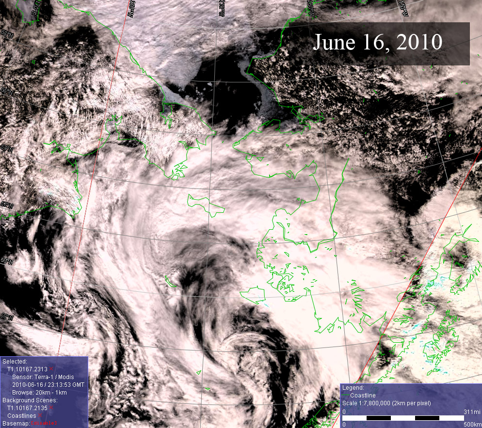
Remote Sensing Images

Observations and Comments
Observations of Sea Ice Development
23 June 2010 - Don Moore - Update on Landfast ice between Wales and Shishmaref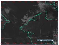 Skies cleared over Wales and Shishmaref, showing that the remaining landfast ice is starting to break up.
21 June 2010 - Hajo Eicken - Update on Landfast Ice Between Wales and Shishmaref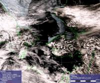 The latest satellite image with good visibility (Saturday, 19 June) shows the landfast ice tongue between Wales and Shishmaref still in place (see satellite image, right). As indicated by Winton Weyapuk from Wales, the western edge of the landfast ice starts about 15 miles up the coast from Wales. Given the strongly grounded ridges along the western edge of this feature, the tongue may decay by meltout of the level ice portions, with grounded ridges left in place for a few more days. Cloudy conditions such as during the past week slow down ice decay (see also http://seaice.alaska.edu/gi/observatories/barrow_breakup for ice break-up at Barrow).
21 June 2010 - Winton Weyapuk Jr. - Comments from Wales
There has been no sign of any pack ice for quite some time. From hunters' reports, the shorefast ice is still about 15 miles northeast of Wales near the first inlet to Lopp Lagoon. Some crews have tried going into the inlet to gather eggs but were blocked by the shore ice. Diomede hunters reported seeing the last of the pack ice about two weeks ago.
