Assessment of Current Ice Conditions Relevant to Distribution and Access of Walrus
Near St. Lawrence Island
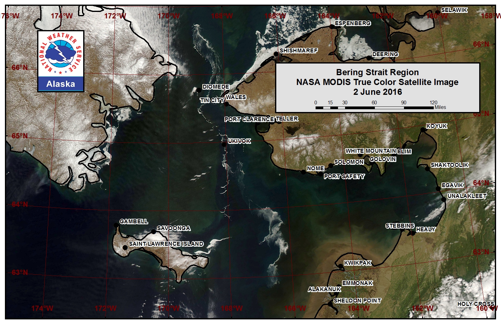
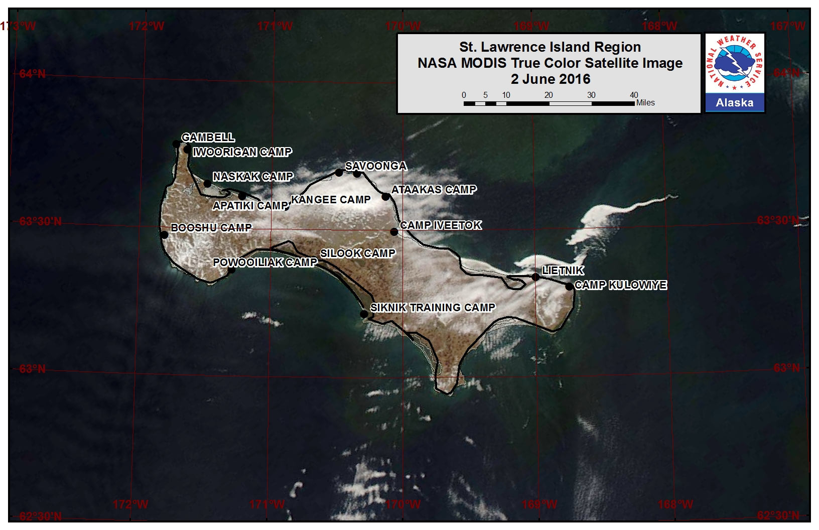
Very minimal sea ice remains around St. Lawrence Island at this time. Open water to very open pack ice lies along the northern and eastern coastline of the island and all remaining sea ice is rapidly deteriorating. A belt of rapidly deteriorating sea ice currently stretches from the northeast corner of the island to the north to the eastern half of the Bering Strait.
Wales to Shishmaref
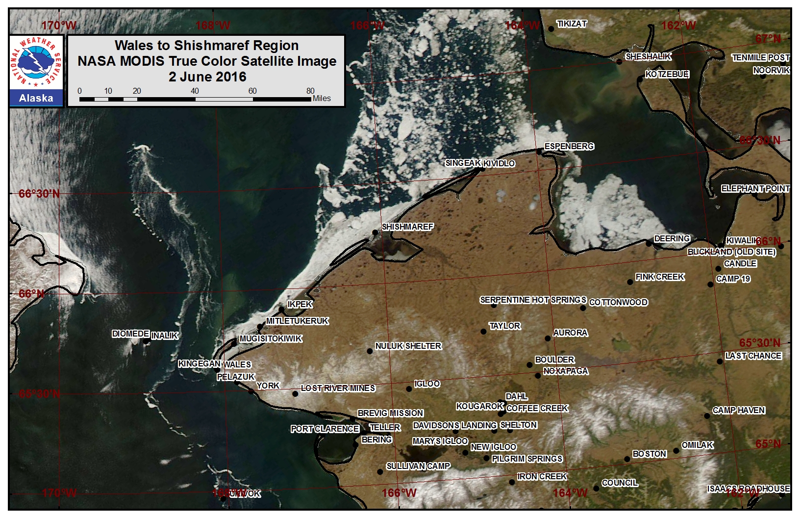
Sea Ice in the vicinity of Wales to Shishmaref retreated very rapidly this past week. At this time lagoon areas from Ikpek up to Espenberg have melted out to leave only very open pack ice. Beyond the lagoon areas from Mugisitokiwik to Espenberg lies a region of close pack ice that is rapidly deteriorating. Very open to open pack ice is currently drifting in the current between Little Diomede Island and Wales.
Forecast Discussion
Ice Forecast
St. Lawrence Island is expected to be sea ice free for the season by next week as all remaining ice continues to rapidly melt out.
Along the coast from Wales to Shishmaref we expect sea ice conditions to continue to deteriorate through the coming week. Increasing temperatures along with the coastal current picking up will aid in melting out the sea ice along the coast. Within the week we expect only isolated open to close pack ice conditions to remain near the coastline.
Weather System/Wind Synopsis
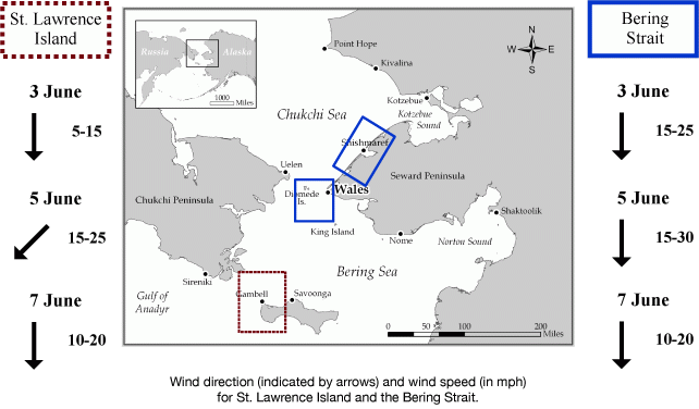
High pressure over Chukotka June 3 and 4 will weaken as a weather front moves across the region from north to south on June 5. High pressure will follow for June 6 and 7. Thereafter forecast confidence decreases but in general high pressure will likely persist over the Chukchi Sea into June 10. Winds will be generally north to northwest 10 to 20 mph (8 to 15 kt) through June 4. Winds early June 5 will be northwest to west 10 to 15 mph (8 mph to 13 kt) but will turn north to northeast 15 to 25 mph (13 to 23 kt) later in the day June 5 and into June 6. During this time winds in the Bering Strait may gust to 35 mph (32 kt). Thereafter winds will be generally north 10 to 20 mph (8 to 15 kt)
Temperature Trend
Temperatures will be generally near to somewhat above normal through June 10, with highs in the 40s and lows in the 30s.
Marine forecast for the West Coast and Arctic Coast
Remote Sensing Images
Observations and Comments
Observations of Sea Ice Development
Observations from Gambell
2 June 2016 - Merle Apassingok
Most of the ice has melted and what was left has been taken by the current in the immediate vicinity of Gambell. There is some remnant shorefast ice on the north side of the island. The broken up ice from the Gulf of Anadyr is still expected but it hasn't been seen yet.
Observations from Wales
28 May 2016 - Amos Oxereok
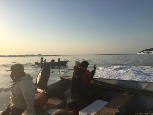
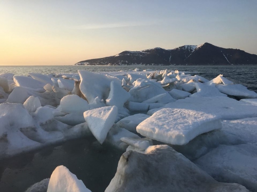
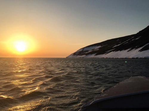
The following pictures were taken near Wales over the night of May 27th:
